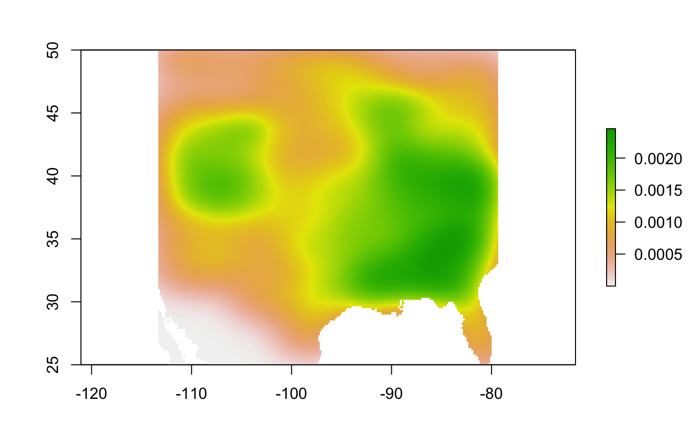
biaslayer estimates a raster that represents the sampling bias; it can be used in the maxent_call{ntbox} function.
biaslayer(occs_df, longitude, latitude, raster_mold)
Arguments
| occs_df | A data.frame with the occurrence data and coordinates. |
|---|---|
| longitude | A character vector of the column name of longitude. |
| latitude | A character vector of the column name of latitude. |
| raster_mold | A raster of the calibration area. This will serve just as a mold to make the bias layer. |
Details
The biaslayer uses the 2 dimensional kernel desity estimator kde2d{MASS}.
Examples
# Birds of North America
birds <- read.csv(system.file("extdata",
                              "birdsN_America.csv",
                              package = "ntbox"))
bio01 <- raster::raster(system.file("extdata",
                                    "bio01_bias.tif",
                                    package = "ntbox"))

biasBirds <- biaslayer(occs_df = birds,
                       longitude = "Longitude",
                       latitude = "Latitude",
                       raster_mold = bio01)

raster::plot(biasBirds)
